| Home Page | Buying | Maps | Books | Prints | Ephemera |
- Home Page
- Africa, the Continent
- Egypt, Abyssinia, etc
- North & West Africa
- Central Africa
- Southern Africa
1,500 maps reduced in price
All our maps are Originals, NOT modern reproductions
Now all our maps have thumbnails as well as larger images so finding what you want is quicker.
If you want several items, email me for a discount!
Email: don@theoldmapman.com
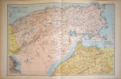 Algeria & Tunis with Marocco G W Bacon 1907 - 48 x 32 cm Large coloured map in two parts with Marocco in a large inset. Smaller inset of Algiers. Larger image Ref af86 : £10 Return to Africa Index |
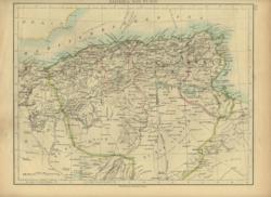 Algeria & Tunis. Verso: Africa (physical). W A & A K Johnston 1896 - 27 x 21 cm Very detailed map. Fine printed colour. Verso: Africa (physical). Larger image Ref af05 : £7 Return to Africa Index |
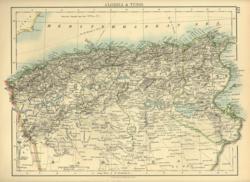 Algeria & Tunis. Verso: Marocco W A & A K Johnston 1897 - 29 x 21 cm Very detailed map. Fine printed colour. Verso: Marocco. Two images available. Two images available. Larger image 1 : Larger Image 2 Ref af04 : £8 Return to Africa Index |
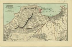 Algiers & Environs Anon 1885 - 24 x 14 cm Printed colour. Shows the mountainous region and the wooded areas. Larger image Ref af03 : £7 Return to Africa Index |
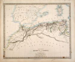 Ancient Africa or Libya Part 1 SDUK/ J.&C.Walker/ Edward Stanford c 1840 - 39 x 32 cm Marocco, Algeria and Tunisia. The features described in Latin but with a Glossary. Described by Philip Smith of University College London. Hand coloured in outline as issued. Half a dozen foxed spots at the foot of the map. Old ink line outside the frame. Larger image Ref af48 : £7 Return to Africa Index |
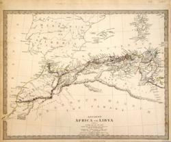 Ancient Africa or Libya Part 1 SDUK/ J.&C.Walker/ Chapman & Hall 1840 - 40 x 31 cm Marocco, Algeria and Tunisia. The features described in Latin but with a Glossary. Described by Philip Smith of University College London. Hand coloured in outline as issued. Narrowish margins on three sides. Larger image Ref af49 : £9 Return to Africa Index |
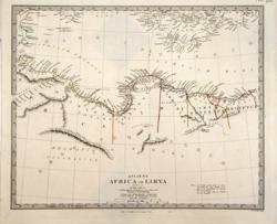 Ancient Africa or Libya Part 2 SDUK/ J.&C.Walker/ Chas Knight c 1840 - 39 x 32 cm Tripoli (Libya) and Egypt. The features described in Latin but with a Glossary. Described by Philip Smith of University College London. Hand coloured in outline as issued. A bright copy with large margins. Larger image Ref af50 : £10 Return to Africa Index |
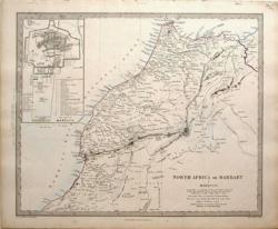 Barbary or North Africa SDUK/ J.&C.Walker/ Edward Stanford c 1840 - 39 x 32 ea. cm In five sheets covering the whole North Coast from Cape Nonn in Marocco to Alexandria in Egypt with a plan of the City of Marocco. Hand coloured in outline as issued. All five maps are in good condition and contain information about the geology, agriculture and archaeology of the countries. Good margins all round. Four images available. Larger image 1 : Larger Image 2 : Larger Image 3 : Larger Image 4 Ref af42 : £45 Return to Africa Index |
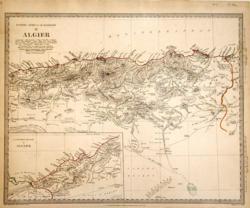 Barbary or North Africa, II. Algier SDUK/ J.&C.Walker/ Baldwin & Cradock 1834 - 40 x 31 cm From the Gulf of Malilla at the Maroccan border to Coral Bank at the border with Tunisia. Hand coloured in outline as issued. The map is in good condition and contains information about the geology, agriculture and archaeology of the country. Narrowish margins on three sides. Larger image Ref af44 : £11 Return to Africa Index |
 Mauritania Sidney Hall 1838 - 25 x 20 cm Numidia and Africa Propria. North Coast of Africa in ancient times. Nice original outline hand colouring. Larger image Ref af20 : £12 Return to Africa Index |
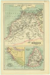 Morocco, Liberia, Mauritius Bartholomew 1886 - 15 x 24 cm Printed outline colour. Largest map is of Morocco with other maps of Liberia and the Island of Mauritius. Larger image Ref af21 : £7 Return to Africa Index |
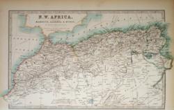 North West Africa A K & G H Johnston 1904 - 33 x 21 cm Coloured map of Marocco, Algeria & Tunis, the Atlas Mountains and South into the Sand Hills Region of Sahara, showing caravan routes. Larger image Ref af77 : £8 Return to Africa Index |
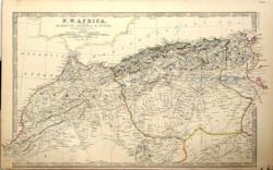 North Western Africa Keith Johnston 1877 - 49 x 28 cm Comprising Marocco, Algeria and Tunis. Shows many desert routes and towns and villages. A very detailed map coloured in outline to resemble hand-colouring. Narrow but adequate lower margin. Excellent condition. Larger image Ref af55 : £12 Return to Africa Index |
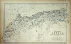 North Western Africa Keith Johnston 1861 - 48 x 29 cm Comprising Marocco, Algeria and Tunis. Shows many desert routes and towns and villages. Algeria is divided into Oran, Alger and Constantine. A very detailed map. Narrow but adequate lower margin. Superb hand-colouring in outline makes this a beautiful map which is in very good condition. Larger image Ref af59 : £16 Return to Africa Index |
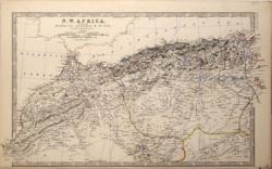 North Western Africa W & A.K.Johnston 1881 - 49 x 28 cm A large map of N Africa from Marocco to Tunis. Shows many desert routes and towns and villages. A very detailed map coloured in outline to resemble hand-colouring. Narrow but adequate lower margin. Larger image Ref af51 : £12 Return to Africa Index |
|
| |||