| Home Page | Buying | Maps | Books | Prints | Ephemera |
1,500 maps reduced in price
All our maps are Originals, NOT modern reproductions
Now all our maps have thumbnails as well as larger images so finding what you want is quicker.
If you want several items, email me for a discount!
Email: don@theoldmapman.com
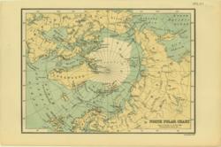 North Polar Chart Bartholomew 1886 - 21 x 15 cm Printed colour map showing tracks of explorers Larger image Ref arc01 : £7 Return to The World Index |
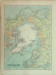 North Polar Chart. Verso: Ocean currents and climate. Bartholomew c1895 - 18 x 24 cm Coloured map of the continent and surrounding land masses showing the extent of the explored territories. Verso: coloured charts of the flow of the oceans and isotherms that might be compared with those 120 years later. Similarly the height of the perpetual snow from the equator to the north pole is shown as a diagrammatic section. Larger image 1 : Larger Image 2 Ref arc03 : £8 Return to The World Index |
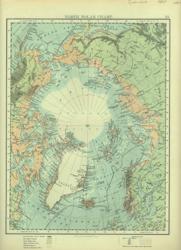 North Polar Chart. Verso: South Polar Chart W & A K Johnston 1897 - 20 x 28 cm North Polar Chart with, verso, South Polar Chart. Details of explorers with their tracks especially in the Southern Ocean. Two images available. Larger image 1 : Larger Image 2 Ref arc02 : £9 Return to The World Index |
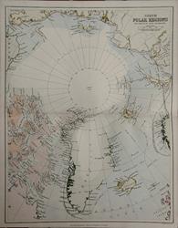 North Polar Regions with Results of Latest Explorations. Wm. MacKenzie c1880 - 23 x 29.5 cm An original antique coloured map. Tracks of three expeditions of the 1870s; British, Austrian & Swedish. Centrefold as issued. Sold with 11 pages of associated text; 6 engravings. Larger image Ref arc07 : £15 Return to The World Index |
 North Polar Regions. Wm. MacKenzie c1885 - 23 x 29.5 cm Coloured map with off-centre presentation to include more detail of Greenland, Iceland and the Mainland as far south as Nain. Dates of exploration shown include 1875-6 and 1882. Centrefold as issued. Larger image Ref arc05 : £10 Return to The World Index |
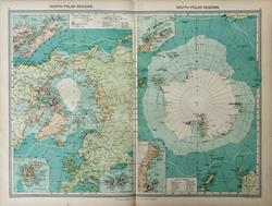 Polar Regions. Geo. Philip c1907 - 48 x 35 cm Two large coloured maps side by side. One with insets of Spitzbergen, Ellesmere Island & Franz Josef Land. The other with insets of the South Shetlands with Graham Land. The other of the Ross Sea with Victoria Land. Larger image Ref arc06 : £12 Return to The World Index |
||
| |||