| Home Page | Buying | Maps | Books | Prints | Ephemera |
- Home Page
- Asia, the Continent
- Middle East
- Far East
- India and Central Asia
1,500 maps reduced in price
All our maps are Originals, NOT modern reproductions
Now all our maps have thumbnails as well as larger images so finding what you want is quicker.
If you want several items, email me for a discount!
Email: don@theoldmapman.com
 Bengal, North West and Central Provinces, Assam, etc. Bartholomew c1895 - 24 X 17.5 cm An original antique double sided outline coloured map. Verso: Madras, Hydrabad, Mysore, Coorg and Ceylon. Larger image 1 : Larger Image 2 Ref as137 : £10 Return to Asia Index |
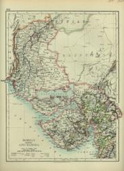 Bombay and Baroda. Verso: Haidarabad W & A K Johnston 1897 - 22 x 26 cm Bombay North from the Upper Sind Frontier to the Gulf of Cambay. Verso: Haidarabad and Berar. Two images available. Larger image 1 : Larger Image 2 Ref as21 : £9 Return to Asia Index |
 Hindostan Sidney Hall 1851 - 20 x 27 cm The whole of India and Ceylon. Nice hand wash colouring. Larger image Ref as16 : £14 Return to Asia Index |
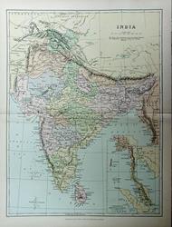 India Blackie c1885 - 22 x 29.5 cm Original antique coloured map. Centrefold as issued. 19 pp article included. Larger image Ref as157 : £7 Return to Asia Index |
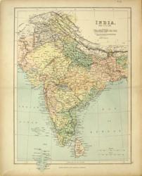 India & Ceylon Geo. Philip & Son N D - 23 x 31 cm With the Maldives. Printed colour. Larger image Ref as26 : £7 Return to Asia Index |
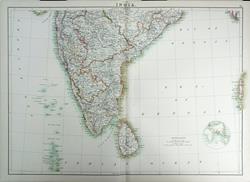 India (South Sheet) Adam and Charles Black's General Atlas of the World. 1895 - 59 x 42 cm Very large double page coloured map, with centrefold, elegantly coloured in outline. Includes the Laccadive, Maldive & Andaman Islands. Larger image Ref as117 : £15 Return to Asia Index |
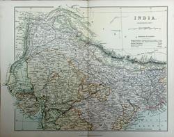 India, North and South. Wm. MacKenzie c1885 - 29.5 x 22 cm Pair of original antique coloured maps. Centrefolds as issued. 50 pp article included. Larger image 1 : Larger Image 2 Ref as158 : £12 Return to Asia Index |
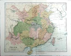 India, Southern Part. Wm MacKenzie c1880 - 28 x 23 cm An original antique coloured map with centrefold. Larger image Ref as129 : £8 Return to Asia Index |
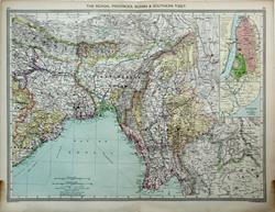 The Bengal Provinces & Burmah Geo. Philip c1907 - 48 x 35 cm Very large coloured map of the Bengal provinces, Burma and Southern Tibet with Nepal, Bhutan and the Himalayas. Large inset of street plan of Calcutta and an inset of the environs of Rangoon. Larger image Ref as99a : £12 Return to Asia Index |
|||
| |||