| Home Page | Buying | Maps | Books | Prints | Ephemera |
- Home Page
- Natural History, Gardening, Angling, Sports & Field, Sciences & Medicine
- UK Topography, Architecture & Guide Books
- Travel, Transport & Mountaineering
- Military
- Arts & Music, Antiques, Archaeology, History inc. Local, Heraldry & Genealogy
- Biography, Fiction, Language, Literature, Poetry, Religion, Reference, etc.
- Atlases, Cartography and Gazetteers

Atlases and Gazetteers may be accessed either from the Books or the Maps pages. If you enter from Maps pages you will need to select Maps from the Header Bar in order to return to the Maps index.
Map Collectors Circle publications will be found in Ephemera.
All our books have thumbnails as well as larger images of the actual sale item and each page is in Author order.
Email me to buy a book or to make me an offer.
Shipping charges will be at cost.
Email: don@theoldmapman.com
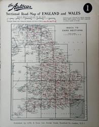
 Autocar. Published by Iliffe and Sons. Ltd., London. Together with a Map User's Companion of motoring information and plans of 15 towns. Book condition: The cards are in very good condition but the Map User's Companion is disbound and the last sheet has rather tatty margins. There is a very tatty wallet. New HALT sign and new left turn hand signal means the date is 1930. Larger image 1 : Larger Image 2 : Larger Image 3 : Larger Image 4 Ref 10654 : £8 Return to Antique & Collectable Books Index |
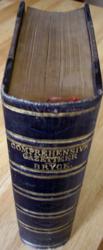
 Bryce, James Book Description: London: William Collins. 1861. Hard covers. First edition? 7 1/4 in x 9 1/2 in. Approx. 2 3/4 in thick, xlviii + 823 pages with 10 large fold-out colour maps inc the World in (separate) hemispheres, Australia and North America, some have a short marginal tear, repaired. Purple cloth boards and three quarter leather with 5 raised bands, blind tooled lozenges and gilt blocked title and lines on spine and to edges of leather on boards. AEG. Bookplate. The Gazetteer covers the whole world with numerous engravings in the text. Thick 8vo. A very handsome volume. Larger image Ref 10017 : £59 Return to Antique & Collectable Books Index |
 Hughes, William (compiled by) Maunder, Samuel (designed by) Containing a Succinct Account of Every Country of the World. Book Description: Longman, Green & Co., London, 1885. Hard covers. Orig. brown cloth as faux half morocco binding. Gilt title to spine. All edges marbled and with marbled endpapers. Engraved frontis with tissue guard, 16 very fine plates and 7 folding maps including Australia, Africa and North America, (xii) + 892 + 8 pp publisher's catalogue. Book Condition: Very Good. Head of spine is chipped and sl. split. The tissue guard has foxed and transferred some foxing to the plate. Otherwise Fine. Larger image 1 : Larger Image 2 : Larger Image 3 Ref 10112 : £40 Return to Antique & Collectable Books Index |
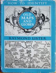
 Lister, Raymond Book Description: G Bell & Sons, London, 1965. Hard Covers. Original blue cloth. 4to. Book Condition: Very Good. Dust Jacket Condition: Good with a few short tears and chips and lacking one cm from base of spine. Plates showing 59 examples and illustrations in the text. Larger image 1 : Larger Image 2 Ref 10086 : £8 Return to Antique & Collectable Books Index |
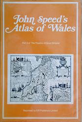
 Rawnsley, John E. EP Publishing Ltd, Wakefield, 1970. Hard covers. Tall folio. Original cloth. Condition: Very Good. Dust Jacket Condition: Very Good. Plain label covering owner's name on front pastedown. Twelve maps of the counties and one of the country. Facsimiles of the 1676 edition. All double page. See images. Larger image 1 : Larger Image 2 : Larger Image 3 Ref 10588 : £15 Return to Antique & Collectable Books Index |
|||
| |||