| Home Page | Buying | Maps | Books | Prints | Ephemera |
- Home Page
- Europe, the Continent
- Eastern & South Eastern Europe
- France
- Germany
- Iberia
- Italy
- Low Countries
- Mediterranean
- Russia
- Scandinavia
- Switzerland
1,500 maps reduced in price
All our maps are Originals, NOT modern reproductions
Now all our maps have thumbnails as well as larger images so finding what you want is quicker.
If you want several items, email me for a discount!
Email: don@theoldmapman.com
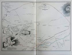 Athens. Plan of the antiquities. William MacKenzie c1890 - 30 x 21 cm Original antique map. Hand colouring to the outline of the walls. Centrefold. Larger image Ref ceu48 : £6 Return to Europe Index |
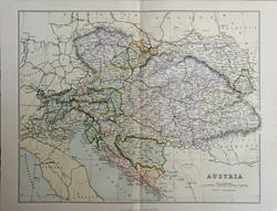 Austria Wm, MacKenzie c1885 - 28 x 22 cm Original antique coloured map. Centrefold as issued. Railways shown prominently. Larger image Ref ceu50 : £8 Return to Europe Index |
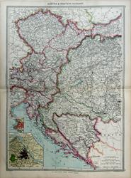 Austria & Western Hungary Geo. Philip c1907 - 35 x 48 cm Very large double page coloured map, with centrefold. Insets of Vienna environs & Trieste. Larger image Ref ceu38 : £12 Return to Europe Index |
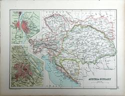 Austria-Hungary. Verso: Switzerland & the Alps. Bartholomew c1895 - 24 X 17.5 cm From Bohemia and Galicia to Dalmatia and Transylvania. Insets of Vienna and Pest with Ofen (Buda). An original antique double sided outline coloured map. Larger image 1 : Larger Image 2 Ref ceu37 : £10 Return to Europe Index |
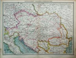 Austria-Hungary; Industries & Communications Geo. Philip c1907 - 48 x 35 cm Very large double page coloured map, with centrefold. Larger image Ref ceu44a : £12 Return to Europe Index |
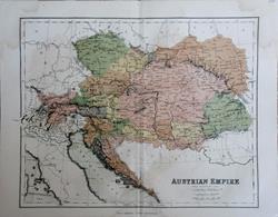 Austrian Empire W & R Chambers c1868 - 28 x 22 cm Original antique coloured map. Centrefold as issued. Especially nice colouring. Larger image Ref ceu51 : £9 Return to Europe Index |
 Austrian Tyrol Geo. Philip c1907 - 35 x 23 cm Large coloured map. Larger image Ref ceu40 : £9 Return to Europe Index |
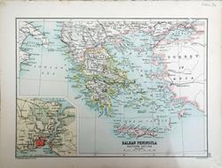 Balkan Peninsula, Southern Section. Verso: Spain & Portugal. Bartholomew c1895 - 24 X 17.5 cm From Macedonia and Constantinople to Crete. Insert of the Bosphorus. An original antique double sided outline coloured map. Larger image 1 : Larger Image 2 Ref ceu34 : £10 Return to Europe Index |
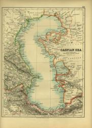 Caspian Sea. Verso: Iceland and Arctic Islands W & A K Johnston 1897 - 20 x 26 cm The Sea and the territories surrounding it. A really brightly outline coloured map. Verso: Iceland and Arctic Islands with maps of Novaia Zemlia, Spitzbergen, Wrangel Land, Anjou Island and Franz Josef Land. Two images available. Larger image 1 : Larger Image 2 Ref ceu17 : £8 Return to Europe Index |
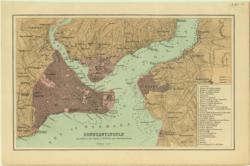 Constantinople Anon 1885 - 23 x 15 cm A coloured plan showing both the city and the Asian side with Scutari and the Bosphorus and Golden Horn showing depths of water from Admiralty charts and a survey by Dufour. A table of 32 buildings is linked to numbers on the plan. Larger image Ref ceu15 : £10 Return to Europe Index |
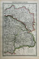 Eastern Hungary & Galicia Geo. Philip c1907 - 23 x 36 cm Large coloured map. Slight crease lower left corner. Larger image Ref ceu39 : £9 Return to Europe Index |
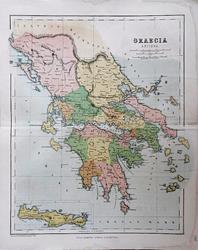 Graecia Antiqua W & R Chambers c1868 - 21.5 x 27 cm Original antique coloured map. Centrefold as issued. With inset of Crete. Score crease across upper and lower half but not very obvious. Especially nice colouring. Larger image Ref ceu49 : £8 Return to Europe Index |
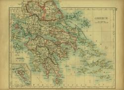 Greece with the Islands W & A K Johnston 1896 - 26 x 22 cm A very attractive map with nice outline colouring. Corfu in an inset. Verso: Bosnia, Serbia and Montenegro. Two images available. Larger image 1 : Larger Image 2 Ref ceu14 : £9 Return to Europe Index |
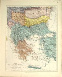 The Balkan Peninsula Ed. Stanford 1882 - 26 x 32 cm Fine printed colour map with much detail. Area covered is from Romania in the North to Crete in the South and includes Western Anatolia. A very nice map. Larger image Ref ceu18 : £12 Return to Europe Index |
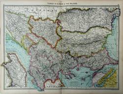 Turkey in Europe Geo. Philip c1907 - 48 x 35 cm Very large double page coloured map, with centrefold. Insets of Moldavia & the Dardanelles. Larger image Ref ceu42 : £12 Return to Europe Index |
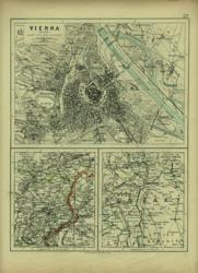 Vienna and Buda-Pest. Verso: Italy, Sicily, Corsica and Sardinia. W & A K Johnston 1896 - 20 x 26 cm Vienna and its Environs. A nice plan of the City with rivers in blue. Map of its environs and map of environs of Buda-Pest. Verso: Italy, Sicily, Corsica and Sardinia. Two images available. Larger image 1 : Larger Image 2 Ref ceu04 : £11 Return to Europe Index |
| |||