| Home Page | Buying | Maps | Books | Prints | Ephemera |
1,500 maps reduced in price
All our maps are Originals, NOT modern reproductions
Now all our maps have thumbnails as well as larger images so finding what you want is quicker.
If you want several items, email me for a discount!
Email: don@theoldmapman.com
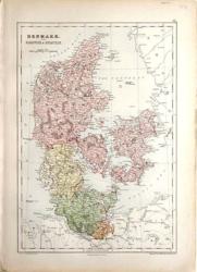 Denmark S.Hall/ A&C Black 1873 - 26 x 38 cm This fine coloured map covers not only modern Denmark but also Germany as far South as Hamburg and delineates Lauenburg as well. Larger image Ref scan22 : £12 Return to Europe Index |
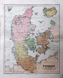 Denmark with Iceland & Bornholm. W & R Chambers c1868 - 21.5 x 27 cm Original antique coloured map. Centrefold as issued. With insets of Iceland, Bornholm & Faer-oer. Especially nice colouring. Larger image Ref scan31 : £9 Return to Europe Index |
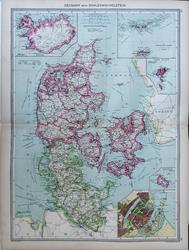 Denmark with Schleswig Holstein Geo. Philip c1907 - 35 x 48 cm Very large antique double page coloured map, with centrefold. A striking map with insets of Iceland, Danish West Indies, Faroe Islands, Bornholm & Copenhagen. Larger image Ref scan30 : £12 Return to Europe Index |
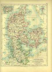 Denmark. Verso: Environs of Central European Cities W & A K Johnston 1897 - 19 x 26 cm & Schleswig-Holstein. Very nice outline colouring. Insets Iceland, Faroe & Bornholm. Verso: Env'ns Vienna: Buda-pest; Mouth of Elbe; Baltic Canal. Two images available. Larger image 1 : Larger Image 2 Ref scan04 : £9 Return to Europe Index |
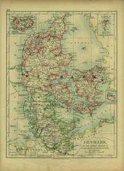 Denmark. Verso: Sweden & Norway W & A K Johnston 1896 - 19 x 26 cm & Schleswig-Holstein. Very nice outline colouring. Insets Iceland, Faroe & Bornholm. Verso: Sweden & Norway. Very nice outline colouring. Two images available. Larger image 1 : Larger Image 2 Ref scan05 : £9 Return to Europe Index |
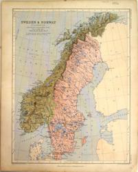 Sweden & Norway A K Johnston/ Wm. Blackwood 1852 - 24 x 31 cm Printed colour map of the two countries. Larger image Ref scan13 : £8 Return to Europe Index |
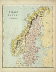 Sweden & Norway Anon 1875 - 24 x 29 cm Showing railways. Printed colour. Larger image Ref scan09 : £9 Return to Europe Index |
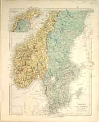 Sweden & Norway Ed. Stanford 1882 - 27 x 34 cm Fine printed colour map with much detail of the two countries. Larger image Ref scan14 : £12 Return to Europe Index |
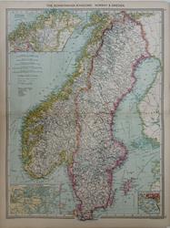 Sweden & Norway Geo. Philip c1907 - 35 x 48 cm Very large antique double page coloured map, with centrefold. A striking map with insets of Finmark, Christiania and Approaches to Stockholm. Larger image Ref scan33 : £12 Return to Europe Index |
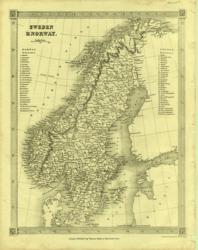 Sweden & Norway Kelly/Findlay Mid C19 - 20 x 25 cm Uncoloured map in frame border. Very clear steel engraving. Larger image Ref scan07 : £10 Return to Europe Index |
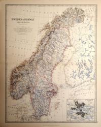 Sweden & Norway W & A K Johnston 1881 - 44 x 57 cm A fine large detailed map of the two countries with very attractive outline colouring. With an inset plan of Stockholm. Larger image Ref scan20 : £15 Return to Europe Index |
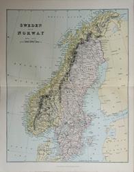 Sweden & Norway Wm, MacKenzie c1885 - 22 x 27.5 cm Original antique coloured map. Centrefold as issued. Railways shown prominently. Larger image Ref scan32 : £8 Return to Europe Index |
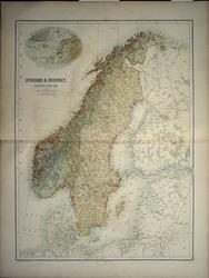 Sweden & Norway, Baltic Sea, etc. J Bartholomew 1859 - 37.5 x 50.5 cm Large coloured detailed map of the two countries, neatly coloured in outline as issued. This map is in very good condition. With an inset sketch map showing the relative position and climate of Norway. Closed tear right margin centrefold. Larger image Ref scan29 : Return to Europe Index |
|||
| |||