| Home Page | Buying | Maps | Books | Prints | Ephemera |
1,500 maps reduced in price
All our maps are Originals, NOT modern reproductions
Now all our maps have thumbnails as well as larger images so finding what you want is quicker.
If you want several items, email me for a discount!
Email: don@theoldmapman.com
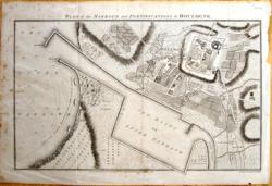 Boulogne J. Russell 1804 - 36 x 23 cm Les possessions des Visigoths, celles des Ostrogoths et le Royaume des Bourgignons; 80 Roman miles to 1 in. Very fine original wash & outline colour. Larger image Ref fr49 : £12 Return to Europe Index |
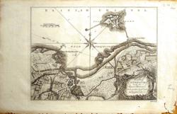 Cherbourg Hilton Mid C18th - 25 x 18 cm An area inc Montmorillon, Chateauroux, Bourges, Sancerre & Nevers. Very decorative cartouche with caryatids & swags of fruit, a coat of arms & scale of miles with two towers, books and an orrery. Text in Dutch on verso. Original hand-colouring and on paper with wide margins Larger image Ref fr47 : £12 Return to Europe Index |
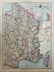 Eastern France. Geo. Philip c1907 - 35 x 48 cm Very large double page coloured map, with centrefold. Insets of Corsica, Marseilles and Franch Possessions. Larger image Ref fr70 : £12 Return to Europe Index |
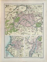 Environs of Cities and the Riviera. Bartholomew c1895 - 17.5 x 24 cm in Provinces with inset of Corsica Original outline hand-coloured map. Larger image 1 : Larger Image 2 Ref fr65 : £12 Return to Europe Index |
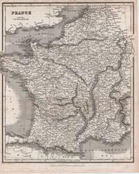 France Bell/Blackie, Fullarton 1831 - 20 x 24 cm Uncoloured. Larger image Ref fr15 : £10 Return to Europe Index |
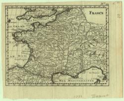 France Bossuet 1722 - 17 x 13 cm Uncoloured Cartouche and Scale. Larger image Ref fr04 : £24 Return to Europe Index |
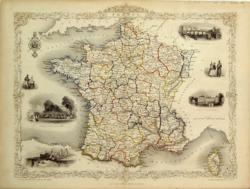
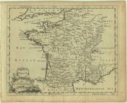 France T.Jefferys 1764 - 22 x 18 cm in Provinces and Corsica with 6 vignettes and a cartouche. Original outline hand-coloured map. Larger image Ref fr07 : £22 Return to Europe Index |
|
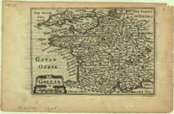 France van den Keere 1665 - 12 x 9 cm inset of Corsica & environs of Paris and map of the provinces and subdivisions before 1789. Printed in black and blue with superb hand-colouring in outline of each department as issued makes this a beautiful map which is in very good condition. Larger image Ref fr03 : £55 Return to Europe Index |
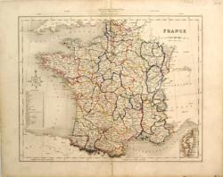
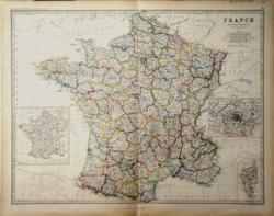 France W & A K Johnston 1861 - 57 x 44 cm inset of Corsica & environs of Paris and map of the provinces and subdivisions before 1789. Printed in black and blue with fine hand-coloured outline of each department as issued. 3cm repair to lower centrefold. Biro scribble on verso which has no effect on the image. Larger image Ref fr32 : £25 Return to Europe Index |
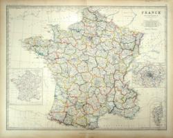 France W & A K Johnston 1861 - 57 x 44 cm Uncoloured map with elaborate border. Original folds. Larger image Ref fr35 : £25 Return to Europe Index |
|
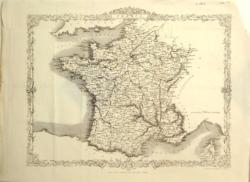 France and Corsica J.Rapkin 1865 - 32 x 26 cm with part of Switzerland. Original fine outline hand-coloured map. Larger image Ref fr36 : £9 Return to Europe Index |
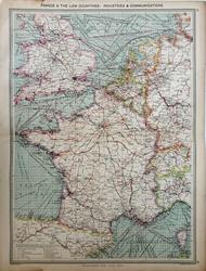 France and the Low Countries, Industries and Communications, (including those with England and Wales). Geo. Philip c1907 - 35 x 48 cm Very large double page coloured map, with centrefold. Larger image Ref fr69 : £12 Return to Europe Index |
 France and the Netherlands Williams 1841 - 27 x 30 cm Coloured map of the harbours of Bologne, Brest, Cherbourg, Le Havre, Marseilles and Toulon. Larger image Ref fr20 : £12 Return to Europe Index |
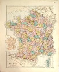 France in Departments Ed.Stanford 1882 - 27 x 32 cm Uncoloured map. Larger image Ref fr43 : £10 Return to Europe Index |
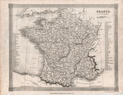 France in Departments Kelly/Findlay Mid C19 - 24 x 19 cm Original outline hand-coloured map. Larger image Ref fr29 : £8 Return to Europe Index |
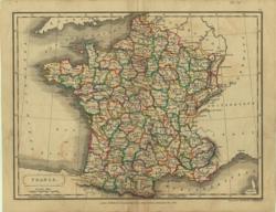 France in Departments Longman, etc/Hall 1822 - 24 x 18 cm with inset of Corsica. Original wash hand-coloured map. Larger image Ref fr14 : £7 Return to Europe Index |
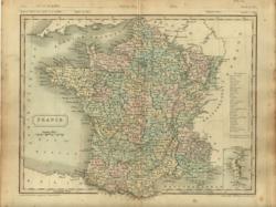 France in Departments Longman/Hall 1851 - 25 x 20 cm Uncoloured map. Original folds. Larger image Ref fr23 : £8 Return to Europe Index |
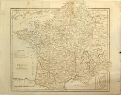 France in Departments with inset of Corsica Anon c1800-17 - 27 x 25 cm Original outline hand-coloured map. Larger image Ref fr08 : £4 Return to Europe Index |
 France in Departments with inset of Corsica Guthrie/Mawman/ Smith 1819 - 20 x 24 cm Large coloured detailed map of the whole country. Handsome and in very good condition. Larger image Ref fr13 : £7 Return to Europe Index |
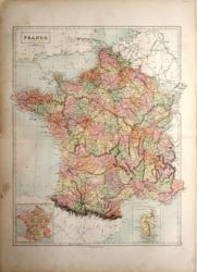 France in Departments, inset of Corsica A & C Black 1873 - 39 x 50 cm Fine printed colour. Larger image Ref fr38 : £9 Return to Europe Index |
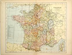 France in Departments, inset of Corsica Anon 1875 - 28 x 23 cm Fine printed colour. Larger image Ref fr39 : £4 Return to Europe Index |
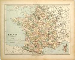 France in Departments, inset of Corsica Geo Philip 1875 - 29 x 23 cm Fine printed colour. Larger image Ref fr40 : £4 Return to Europe Index |
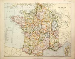 France in Departments, inset of Corsica MacKenzie 1877 - 27 x 22 cm Original antique coloured map. Centrefold as issued. Railways shown prominently. Larger image Ref fr41 : £6 Return to Europe Index |
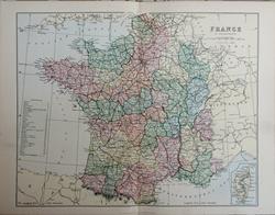 France in Departments, inset of Corsica Wm. MacKenzie c1885 - 27.5 x 22 cm The provinces outline coloured in red. Larger image Ref fr68 : £5 Return to Europe Index |
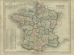 France in Provinces Orr/Dower Mid C19 - 26 x 21 cm Original wash hand-coloured map. Larger image Ref fr30 : £8 Return to Europe Index |
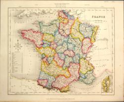 France in Provinces with inset of Corsica Collins/Archer Mid C19 - 28 x 24 cm insets of Corsica, Paris and its railways with its 14 forts clearly shown & Plan of Marseilles. Printed colour. Two images available. Larger image Ref fr31 : £12 Return to Europe Index |
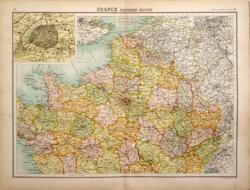 France in two sheets Bartholomew 1898 - 42 x 32 ea cm The provinces outline coloured in red. Larger image 1 : Larger Image 2 Ref fr44 : £9 the pair Return to Europe Index |
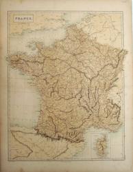 France inset of Corsica A & C Black/S Hall 1859 - 41 x 50 cm Original hand-coloured outline of each department, a little foxed. Larger image Ref fr27 : £10 Return to Europe Index |
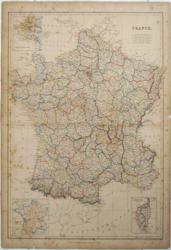 France inset of Corsica Bartholomew, Blackie Mid C19 - 34 x 50 cm Boundaries affecting the Sardinian States Savoy/Nice to the Vaudois printed in red. Some orig h/col. The page number and the numbering of the 7 insets are from labels mounted on the map. Larger image Ref fr28 : £6 Return to Europe Index |
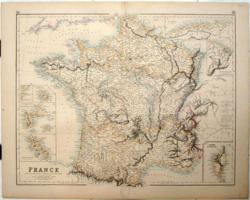 France insets of 7 French possessions Fullarton/G H Swanston 1854/1872 - 52 x 41 cm Original wash hand-coloured map. Larger image Ref fr37 : £14 Return to Europe Index |
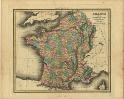 France with the Netherlands, in Departments Walker/Thomson Early C19 - 21 x 18 cm in Provinces with inset of Corsica. Original hand wash colour. Larger image Ref fr11 : £9 Return to Europe Index |
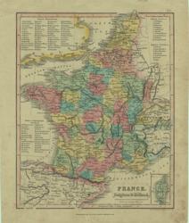 France, Belgium & Holland Oliver & Boyd Mid C19 - 17 x 21 cm An original antique coloured map. Larger image Ref fr26 : £7 Return to Europe Index |
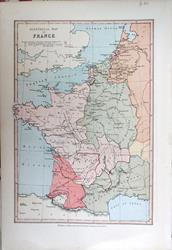 France, Historical Map. Bartholomew; Wm Collins c1875 - 15 x 22 cm Boundaries affecting Moselle & Rhineland (Strasburg) outlined in red. Some orig h/col. The page number and the numbering of the 7 insets are printed directly on the map. The page number is in Roman numerals. Larger image Ref fr67 : £8 Return to Europe Index |
 France, insets of 7 French possessions Fullarton/G H Swanston 1854/1872 - 52 x 41 cm An original antique coloured map. Larger image Ref fr02 : £16 Return to Europe Index |
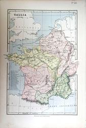 Gallia Bartholomew; Wm Collins c1875 - 15 x 22 cm with the low countries and the alps. Original fine outline hand-coloured map. Larger image Ref fr66 : £8 Return to Europe Index |
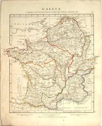 Gallia Williams 1841 - 27 x 30 cm with the low countries and the alps (Inset of Batavia), 100 Roman miles to 1 in. Original outline hand-coloured map. Larger image Ref fr21 : £9 Return to Europe Index |
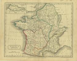 Gallia Antiqua Longman, etc/Hall 1838 - 23 x 19 cm 2 maps on one sheet. Text in French on verso LHS: An area East of Le Mans and West of Chartres with R Sarthe to the North and Le Loir to the South. RHS: An area East of Tour inc Blois, Orleans, Bourges & Chateaudun. Original hand-colouring and on paper with wide margins Larger image Ref fr19 : £6 Return to Europe Index |
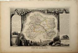 Marne Levasseur (Atlas National Illustre) 1850 - 42 x 28 cm Old (orig’l?) hand colouring; light foxing trimmed but with ample margins all round; detailed map. Light foxing overall. Larger image Ref fr22 : £20 Return to Europe Index |
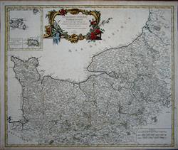 Normandie divise en ses sept bailliages (with an inset of the Channel Islands) Rob t de Vaugondy 1757 - 58 x 49 cm Title: Caletensium Et Bononiensium Ditionis Accurata Delineatio }(with}) Veromanduorum Eorum Que Confinium Exactissima Descriptio. 2 maps on one sheet. Condition: Very Good. Description: Two detailed regional maps by Ortelius. The first map shows Belgian and French Coastal region, from Estaples to Greuelinge, including Calais and Boulogne. Monstreul, La Hault Pais de la Terre d’oye a Labeur, Guines, Ardres. The second shows the region centred on Perone and S. Quintin, along the Sere and Oyse Rivers. North at the bottom. Picardy: St Lambert, La Fere, S. Quintin, Perone, Guise, Chatelet, Chateau en Cambresis & Cambrai. Each map features a decorative title cartouche in the lower left quadrant. A nice example with Latin text on the verso. From the 1575 edition of Ortelius' Theatrum Orbis Terrarum, the first modern atlas. Larger image 1 : Larger Image 2 : Larger Image 3 : Larger Image 4 Ref fr05 : £75 Return to Europe Index |
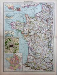 Western France Geo. Philip c1907 - 35 x 48 cm Very large double page coloured map, with centrefold. Instes of Le Havre, Brest, Cherbourg, Calais, Environs of Paris and the Provinces before 1789. Larger image Ref fr71 : £12 Return to Europe Index |
||
| |||
