| Home Page | Buying | Maps | Books | Prints | Ephemera |
1,500 maps reduced in price
All our maps are Originals, NOT modern reproductions
Now all our maps have thumbnails as well as larger images so finding what you want is quicker.
If you want several items, email me for a discount!
Email: don@theoldmapman.com
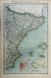 Eastern Spain & the Balearic Islands. Geo. Philip c1907 - 23 x 36 cm Large coloured map with insets of Minorca, Barcelona and Spanish & Portuguese Possessions. Larger image Ref ib24 : £9 Return to Europe Index |
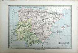 Hispania Bartholomew; Wm Collins c1875 - 22 x 15 cm An original antique coloured map. Larger image Ref ib23 : £8 Return to Europe Index |
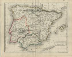 Hispania Antiqua Longman, etc/Hall 1838 - 24 x 18 cm Original hand colouring in outline. Larger image Ref ib06 : £9 Return to Europe Index |
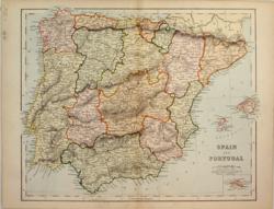 Spain & Portugal Anon c1875 - 30 x 24 cm Very attractively coloured with each region also having clear outline colouring. Clear mapping of the railways. Larger image Ref ib09 : £9 Return to Europe Index |
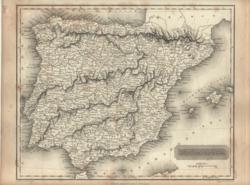 Spain & Portugal Arrowsmith/Hall/ Constable 1817 - 25 x 20 cm Uncoloured and detailed map of the Iberian peninsula and the Balearics. A little light foxing around the edges. Larger image Ref ib07 : £9 Return to Europe Index |
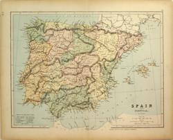 Spain & Portugal Hughes/Geo Philip c 1875 - 30 x 23 cm A printed colour map showing the regions and railways. Larger image Ref ib11 : £9 Return to Europe Index |
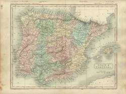 Spain & Portugal Longman/Hall 1851 - 25 x 20 cm Original wash hand-coloured map. of the Iberian peninsula and the Balearics. Very nice decorative map. Larger image Ref ib05 : £16 Return to Europe Index |
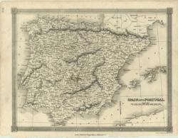 Spain & Portugal Thomas Kelly Mid C19 - 25 x 19 cm Uncoloured map in a decorative frame of the Iberian peninsula and the Balearics. Very clean copy. Larger image Ref ib02 : £11 Return to Europe Index |
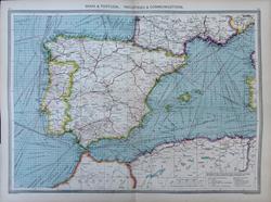 Spain & Portugal, Industries and Communications Geo. Philip c1907 - 48 x 35 cm Very large antique double page coloured map, with centrefold. Showing production and trade in fruits, minerals, livestock and artefacts, etc. Larger image Ref ib25 : £12 Return to Europe Index |
 Spain and Portugal Bartholomew/ A&C Black 1873 - 51 x 38 cm Fine large coloured map of the two countries including the Balearics. Inset of Gibraltar. Larger image Ref ib18 : £16 Return to Europe Index |
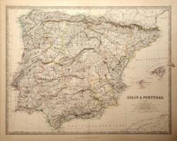 Spain and Portugal W & A K Johnston 1881 - 59 x 44 cm A fine large map of the Iberian peninsula and the Balearics. The regions are demarcated in outline colour. Larger image Ref ib17 : £16 Return to Europe Index |
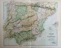 Spain and Portugal Wm. MacKenzie c1885 - 29.5 x 23 cm Original antique coloured map. Centrefold as issued. Railways shown prominently. Inset of Minorca. Larger image Ref ib27 : £7 Return to Europe Index |
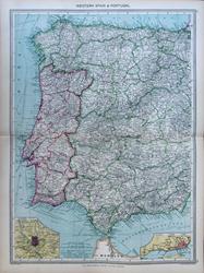 Western Spain & Portugal Geo. Philip c1907 - 35 x 48 cm Very large antique double page coloured map, with centrefold. Insets of Madrid and Lisbon. Larger image Ref ib26 : £12 Return to Europe Index |
|||
| |||