| Home Page | Buying | Maps | Books | Prints | Ephemera |
1,500 maps reduced in price
All our maps are Originals, NOT modern reproductions
Now all our maps have thumbnails as well as larger images so finding what you want is quicker.
If you want several items, email me for a discount!
Email: don@theoldmapman.com
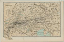 Alps, The Central Chain Anon 1885 - 24 x 16 cm A coloured map of the area from Piedmont to Vienna with a table of the 10 principal Alpine passes. Larger image Ref sw01 : £6 Return to Europe Index |
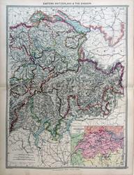 Eastern Switzerland Geo. Philip c1907 - 35 x 48 cm Very large double page coloured map, with centrefold. Inset: Tourist map of Switzerland. Larger image Ref sw14 : £12 Return to Europe Index |
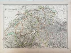 Switzerland Adam and Charles Black's General Atlas of the World. 1895 - 41.5 x 28 cm Large coloured map, elegantly coloured in outline. Larger image Ref sw15 : £11 Return to Europe Index |
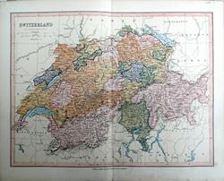 Switzerland Bartholomew; Wm Collins c1875 - 30 X 23 cm An original antique coloured map with centrefold. Larger image Ref sw12 : £8 Return to Europe Index |
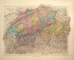 Switzerland Ed. Stanford 1882 - 34 x 26 cm Very fine printed colour. A relief map clearly showing the mountains and both the Swiss and the Italian Lakes. Larger image Ref sw04 : £16 Return to Europe Index |
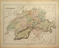 Switzerland Geo. Philip & Son Later C19 - 31 x 23 cm A clear coloured map of the whole country showing the Cantons and railways. Centrefold strengthened. Larger image Ref sw03 : £9 Return to Europe Index |
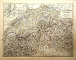 Switzerland Keith Johnston 1877 - 59 x 44 cm … and the Alps of Savoy and Piedmont, with an inset of Geneva and its environs. A fine and detailed large map with excellent relief presentation of the Alps. The outline colouring is designed to look like hand colouring and the map is in excellent condition. Larger image Ref sw07 : £15 Return to Europe Index |
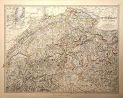 Switzerland W & A K Johnston 1881 - 59 x 44 cm … and the Alps of Savoy and Piedmont, with an inset of Geneva and its environs. A fine and detailed large map with excellent relief presentation of the Alps. The outline colouring is designed to look like hand colouring and the map is in excellent condition. Larger image Ref sw06 : £15 Return to Europe Index |
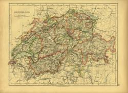 Switzerland. Verso: Empire of Germany W & A K Johnston 1896 - 26 x 20 cm Showing the cantons. Fine outline colour. Verso: Empire of Germany from Lorraine to East Prussia. Two images available. Larger image 1 : Larger Image 2 Ref sw09 : £8 Return to Europe Index |
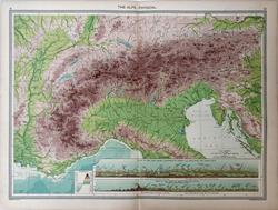 The Alps, Physical. Geo. Philip c1907 - 48 x 35 cm Very large double page coloured map, with centrefold. Insets of Views of the Alps from Constance to Geneva as seen from the North West and Views of the Alps as seen from the South. Larger image Ref sw16 : £12 Return to Europe Index |
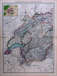 Western Switzerland Geo. Philip c1907 - 35 x 48 cm Very large double page coloured map, with centrefold. Inset of Berne environs. Larger image Ref sw13 : £12 Return to Europe Index |
|
| |||