| Home Page | Buying | Maps | Books | Prints | Ephemera |
1,500 maps reduced in price
All our maps are Originals, NOT modern reproductions
Now all our maps have thumbnails as well as larger images so finding what you want is quicker.
If you want several items, email me for a discount!
Email: don@theoldmapman.com
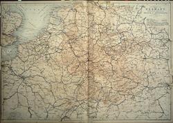 Central Railway Map of Europe W Hughes 1859 - 62.5 x 43.5 cm This large coloured map shows roads, canals and principally railways, across central Europe from London and Le Havre to Breslau and Wien and from Hamburg to Lake Geneva. In very good condition save for closed 15mm split at foot of cetrefold. Larger image Ref ge20 : £15 Return to Europe Index |
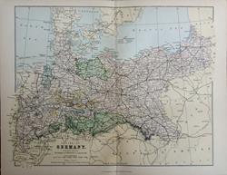 Empire of Germany. (Northern Portion). Wm, MacKenzie c1885 - 29 x 22 cm Original antique coloured map. Centrefold as issued. Railways shown prominently. The Kingdom of Prussia is coloured red. Sold with 16 pages of associated text. Larger image Ref ge31 : £10 Return to Europe Index |
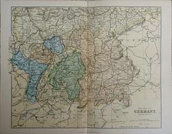 Empire of Germany. (Southern Portion). Wm, MacKenzie c1885 - 28.5 x 22 cm Original antique coloured map. Centrefold as issued. Railways shown prominently. Larger image Ref ge32 : £8 Return to Europe Index |
 Empire of Germany. Verso: Switzerland W & A K Johnston 1897 - 26 x 20 cm From Lorraine to East Prussia. Verso: Switzerland showing the cantons. Fine outline colour. Two images available. Larger image 1 : Larger Image 2 Ref ge08 : £8 Return to Europe Index |
 Environs of 4 German cities. Verso: SW Germany W & A K Johnston 1897 - 20 x 26 cm Berlin & Potsdam; Berlin; Munich; Stuttgart and Dresden. Verso: SW Germany. Very nice outline colouring. Two images available. Larger image 1 : Larger Image 2 Ref ge07 : £8 Return to Europe Index |
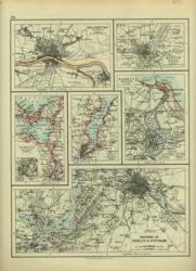 Environs of 6 German cities. Verso: SW Germany W & A K Johnston 1896 - 20 x 26 cm Berlin & Potsdam; Frankfurt; Munich; Stettin; Kiel and Danzig. Verso: SW Germany. Very nice outline colouring. Two images available. Larger image 1 : Larger Image 2 Ref ge06 : £9 Return to Europe Index |
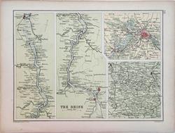 Environs of Cities and the Rhine. Verso: Eastern Germany. Bartholomew c1895 - 17.5 x 24 cm Coloured maps of the environs of Berlin, the Harz Mountains and two strip maps of the Rhine from Mainz to Cologne. Verso: Germany as it was from Berlin to include Lithuania. Larger image 1 : Larger Image 2 Ref ge23 : £12 Return to Europe Index |
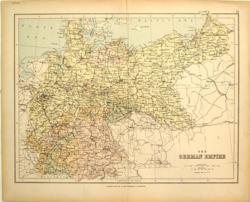 German Empire Geo Philip & Son c 1875 - 30 x 23 cm From Lorraine to East Prussia. Printed colour. Larger image Ref ge09 : £8 Return to Europe Index |
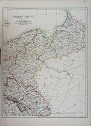 German Empire (East Sheet). Adam and Charles Black's General Atlas of the World. 1895 - 31 x 39.5 cm Large coloured map, elegantly coloured in outline. Larger image Ref ge30 : £11 Return to Europe Index |
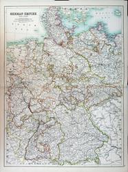 German Empire (West Sheet). Adam and Charles Black's General Atlas of the World. 1895 - 42.5 x 58 cm Very large double page coloured map, with centrefold, elegantly coloured in outline. Larger image Ref ge29 : £15 Return to Europe Index |
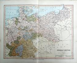 German Empire. Bartholomew; Wm Collins c1875 - 30 X 23 cm From Metz and Salzburg to Tilsit and Schleswig Holstein. An original antique coloured map with centrefold. Larger image Ref ge24 : £8 Return to Europe Index |
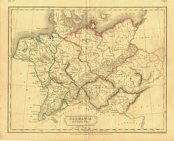 Germania Antiqua Sidney Hall 1838 - 24 x 19 cm Original outline hand colouring. Larger image Ref ge01 : £8 Return to Europe Index |
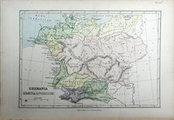 Germania, Rhaetia & Noricum. Bartholomew; Wm Collins c1875 - 22 x 15 cm An original antique coloured map. Small spot lower left corner. Larger image Ref ge25 : £8 Return to Europe Index |
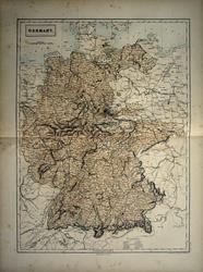 Germany Sidney Hall 1859 - 37 x 50 cm Large double page coloured map of Germany from Lubeck in the North showing the States as they existed at the time. In good condition having a little faint spotting, almost all in the margins. See image. Larger image Ref ge19 : £12 Return to Europe Index |
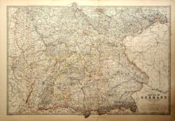 Germany, South West Part Keith Johnston 1877 - 66 x 47 cm The map is entitled The Empire of Germany, South West Part including Alsace-Lorraine. This is an extra large map and it covers in fact the modern Southern Germany as far East as the Austrian and Bohemian borders and as far North as Dusseldorf and Leipzig. This is a very fine detailed map with outline colour designed to look like hand colouring and is in excellent condition. Larger image Ref ge14 : £15 Return to Europe Index |
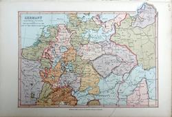 Germany. Bartholomew; Wm Collins c1875 - 22 x 15 cm Illustrating the period of the Reformation to the end of the 30 Years War. An original antique coloured map from Arras to Tilsit. Larger image Ref ge26 : £8 Return to Europe Index |
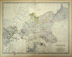 Prussia Keith Johnston 1861 - 58 x 47 cm Superb hand-colouring in outline as issued makes this a beautiful map which is in very good condition. From Aachen to the City and Russian oblast of Kaliningrad and beyond and part of Lithuania. Includes Hohenzollern, Wroclaw (Breslau) and Katowice. With inset map of the environs of Berlin and Potsdam. Larger image Ref ge16 : £25 Return to Europe Index |
 River Rhine & Black Forest. Baptist Homann. c1760 - 61 x 48 cm Title: Cursus Rheni a Basilea usque ad Bonnam III. Sect. Exhibit, a D.G. de L'Islio Editus Primum, Nunc Emendatior & Auctior Reddit, per Homann. Hered. Cum Priv. S.C.M. in qua sistitur maxima pars Alsatiae, Brisgoviae una cum alijs Sueviae Tractibus consinibus. Copper engraving by Baptist Homann, published Nurnberg c 1760. Large scale map of the course of the Rhein from Strasburg in the North to Basel in the South. The map boundaries defined by St Diey and Be(l)fort in the West to Rot(t)enburg, Wurtemberg and Schaf(f)hausen in the East. The map shows as well parts of Baden with the Black Forest and the neighbouring Elsas (Alsace) in the West and the duchy of Wurtemberg in the eastern part of the map. Original hand colouring in wash and outline. Strong paper; good margins top and bottom. The side margins are workable but the top 5 cms on each side has been shaved, without loss on the East and with just the outer ruling missing on the Western edge. The missing area has been replaced with old paper and the ruling restored in pencil (see image); an extra crease alongside the centre fold; otherwise in good condition. An interesting map with many details. A strong and clear impression. Larger image 1 : Larger Image 2 : Larger Image 3 : Larger Image 4 Ref ge18 : £80 Return to Europe Index |
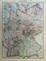 Western Germany. Geo. Philip c1907 - 35 x 48 cm Very large double page coloured map, with centrefold. Inset of Schleswig. Larger image Ref ge28 : Return to Europe Index |
|
| |||