| Home Page | Buying | Maps | Books | Prints | Ephemera |
1,500 maps reduced in price
All our maps are Originals, NOT modern reproductions
Now all our maps have thumbnails as well as larger images so finding what you want is quicker.
If you want several items, email me for a discount!
Email: don@theoldmapman.com
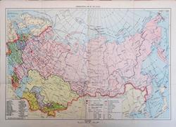 Administrative map of the USSR. (N Tulyakov) c1957 - 42 x 28 cm Multicoloured map from Ukraine to Kamchatka and from the Arctic Ocean to Tajikstan. Multiple folds. Larger image Ref rus21 : £8 Return to Europe Index |
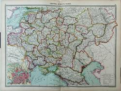 Central & South Russia Geo. Philip c1907 - 48 x 35 cm Very large double page coloured map, with centrefold. Inset of St. Petersburg. Larger image Ref rus17 : £12 Return to Europe Index |
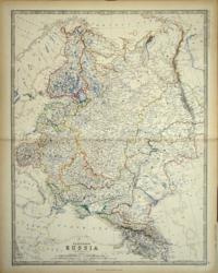 European Russia Keith Johnston 1861 - 44 x 58 cm Covers Finland to the Urals and Poland to the Caucasus and Astrakhan. Superb hand-colouring in outline as issued makes this a beautiful map which is in very good condition apart from tiny faint spots of foxing which are only visible on the white areas of seas. Larger image Ref rus11 : £25 Return to Europe Index |
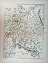 Russia in Europe Adam and Charles Black's General Atlas of the World. 1895 - 38 x 51 cm Very large double page coloured map, with centrefold, elegantly coloured in outline. Larger image Ref rus18 : £15 Return to Europe Index |
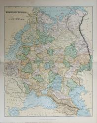 Russia in Europe Wm, MacKenzie c1885 - 23 x 27.5 cm Original antique coloured map. Centrefold as issued. Railways shown prominently. Larger image Ref rus20 : £8 Return to Europe Index |
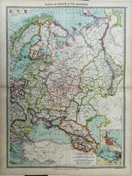 Russia in Europe & the Caucasus. Geo. Philip c1907 - 35 x 48 cm Very large double page coloured map, with centrefold. Insets of Odessa & the Kronstadt Ship Canal. Closed marginal tear top left corner. Larger image Ref rus16 : £12 Return to Europe Index |
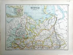 Russia, Northern Section. Bartholomew c1895 - 24 X 17.5 cm An original antique double sided outline coloured map. Verso: The Fjords of Norway. Larger image 1 : Larger Image 2 Ref rus15 : £10 Return to Europe Index |
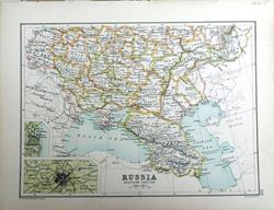 Russia, Southern Section. Bartholomew c1895 - 24 X 17.5 cm An original antique double sided outline coloured map. Insets of St. Petersburg & Odessa. Verso: Asia. Larger image 1 : Larger Image 2 Ref rus19 : £10 Return to Europe Index |
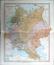 Russia. Bartholomew; Wm Collins c1875 - 24 x 30 cm An original antique coloured map with centrefold. Larger image Ref rus14 : £8 Return to Europe Index |
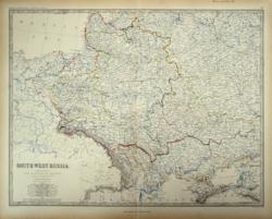 South West Russia Keith Johnston 1861 - 58 x 44 cm … showing the extent of the Kingdom of Poland previous to its partition in1772. Covers from the Gulf of Riga to the Crimea and from Danzig to East of Moscow and the Country of the Cossacks of the Don and the Black Sea. Superb hand-colouring in outline as issued makes this a beautiful map which is in very good condition. Larger image Ref rus12 : £25 Return to Europe Index |
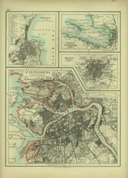 St Petersburg. Verso: Map of the Baltic Sea and the Baltic States W & A K Johnston 1897 - 20 x 26 cm with its environs, Moscow, Odessa and Kronstadt with St Petersburg Bay. Outline colour. Verso: Map of the Baltic Sea from Skager Rack to the Gulf of Finland showing the Baltic States Esthonia, Livonia, Courland & Kovno along with part of Sweden and Denmark. Two images available. Larger image 1 : Larger Image 2 Ref rus04 : £12 Return to Europe Index |
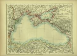 The Black Sea. Verso: Turkey in Europe & Bulgaria W & A K Johnston 1897 - 26 x 20 cm Map of Black Sea from Istanbul to the Province of the Don Cossacks. Outline colour. Verso: Turkey in Europe & Bulgaria including Upper Moesia, Macedonia and Eastern Rumelia with Albania and part of Serbia. Two images available. Larger image 1 : Larger Image 2 Ref rus06 : £10 Return to Europe Index |
| |||