| Home Page | Buying | Maps | Books | Prints | Ephemera |
1,500 maps reduced in price
All our maps are Originals, NOT modern reproductions
Now all our maps have thumbnails as well as larger images so finding what you want is quicker.
If you want several items, email me for a discount!
Email: don@theoldmapman.com
 Italia, Meridionalis. Bartholomew; Wm Collins c1875 - 22 x 15 cm An original antique coloured map. Larger image Ref it36 : £8 Return to Europe Index |
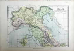 Italia, Septentrionalis. Bartholomew; Wm Collins c1875 - 22 x 15 cm An original antique coloured map. Larger image Ref it37 : £8 Return to Europe Index |
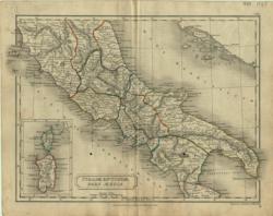 Italiae Antiquae, pars media Longman/S. Hall 1838 - 25 x 18 cm Central Italy with inset of Cyrnus and Sardo. Original hand colouring in outline. Small ink spot mirrored on each side. Larger image Ref it08 : £8 Return to Europe Index |
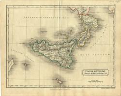 Italiae Antiquae, pars meridionalis Longman/S. Hall 1838 - 24 x 18 cm The toe of Italy (Bruttii) and Sicily with Malta and Cossyra. Original hand colouring in outline. Larger image Ref it07 : £10 Return to Europe Index |
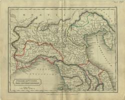 Italiae Antiquae, pars septentrionalis Longman, etc/Hall 1838 - 24 x 18 cm Northern Italy from the Alps to Etruria. Original hand colouring in outline. Larger image Ref it09 : £10 Return to Europe Index |
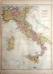 Italy Bartholomew/ A&C Black 1873 - 38 x 50 cm Fine large coloured map of the country including Sardinia, Sicily, Malta and Gozo. Small stain in the sea. Larger image Ref it28 : £14 Return to Europe Index |
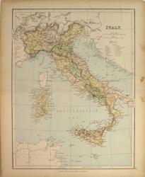 Italy Geo. Philip & Son Later C19 - 23 x 30 cm Italy, Sardinia, Sicily and Malta. Railways shown. Printed colour. Larger image Ref it15 : £7 Return to Europe Index |
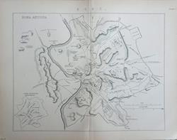 Italy Antiqua Victorian encyclopaedia entry. c1890 - 26.5 x 25 cm Original antique double page map with centrefold & two single page engravings of ancient Rome and the Forum. With 13 pp article which includes an engraving of St. Peter's and St. Angelo. Larger image 1 : Larger Image 2 : Larger Image 3 Ref it46 : £12 Return to Europe Index |
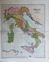 Italy Antiqua W & R Chambers c1868 - 21.5 x 27 cm Original antique coloured map. Centrefold as issued. Especially nice colouring. Larger image Ref it45 : £8 Return to Europe Index |
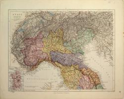 Italy. North Ed. Stanford 1882 - 32 x 25 cm Very fine printed colour. Italy as far south as Umbria. Inset of Sardinia. Larger image Ref it21 : £16 Return to Europe Index |
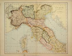 Italy. Northern Part Anon c1875 - 29 x 23 cm Italy from Latium north with railways shown. Very attractively coloured with each region also having clear outline colouring. Larger image Ref it16 : £8 Return to Europe Index |
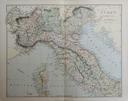 Italy. Northern Part. With Corsica. Wm. MacKenzie c1885 - 28 x 22 cm Original antique coloured map. Centrefold as issued. Railways shown prominently. Larger image Ref it42 : £8 Return to Europe Index |
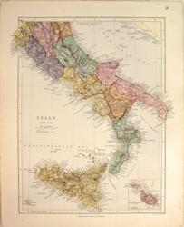 Italy. South Ed. Stanford 1882 - 28 x 32 cm Very fine printed colour. Umbria southwards with nice inset map of Malta, Gozo and Comino. Larger image Ref it22 : £16 Return to Europe Index |
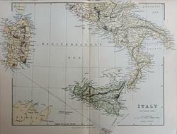 Italy. Southern Part. With Sardinia and Malta. Wm. MacKenzie c1885 - 31.5 x 24 cm Original antique coloured map. Centrefold as issued. Railways shown prominently. Larger image Ref it43 : £8 Return to Europe Index |
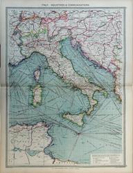 Italy; Industries & Communications Geo. Philip c1907 - 35 x 48 cm Very large double page coloured map, with centrefold. Larger image Ref it41 : £15 Return to Europe Index |
 Rome Fullarton c 1877 - 14 x 24 cm …with its Environs. According to the surveys of Baron Moltke. A list of 141 numbered sites as well as Ancient Names and Descriptive Words. Drawn by Augustus Peterman and engraved by G H Swanston. Some colouring. Larger image Ref it04 : £6 Return to Europe Index |
 South Italy and the Island of Sardinia Keith Johnston 1861 - 58 x 44 cm Fine large detailed coloured map of the South of the country from the Pontine Marshes and Foggia, with Sicily, Sardinia, Malta and Gozo. There is an inset showing the Bay of Naples and Mount Vesuvius, on a much larger scale. Superb hand-colouring in outline as issued makes this a beautiful map which is in very good condition. Larger image Ref it31 : £25 Return to Europe Index |
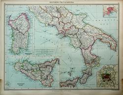 Southern Italy Geo. Philip c1907 - 48 x 35 cm Very large double page coloured map, with centrefold. Insets of Naples and Rome and large insets of Sardinia & Sicily. Larger image Ref it40a : £15 Return to Europe Index |
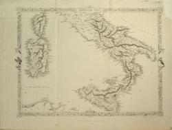 Southern Italy J. Rapkin 1865 - 32 x 24 cm Uncoloured map south of the Papal States with Sicily, Corsica and Sardinia with elaborate border including figures. Just one railway line from Capua to Nola, a distance of 24 miles. Original folds. Very nice condition. Larger image Ref it20 : £13 Return to Europe Index |
|
| |||